Make a Reservation
Fill in the following information for your next Pelister experience. Guaranteed safety and an unforgettable adventure.






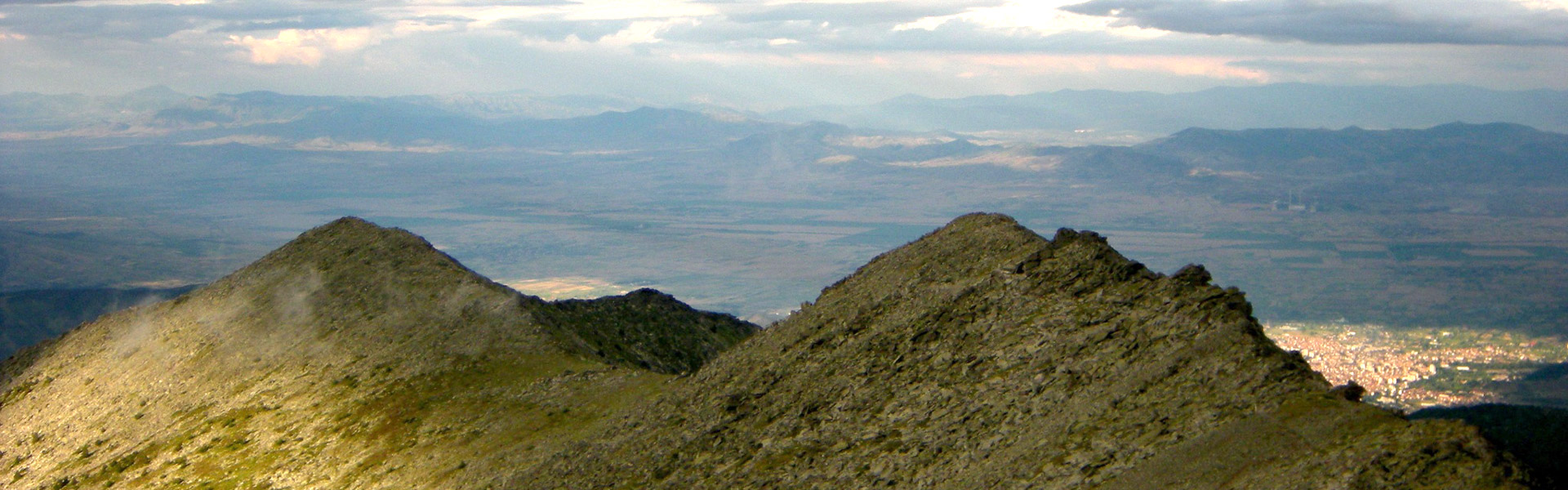
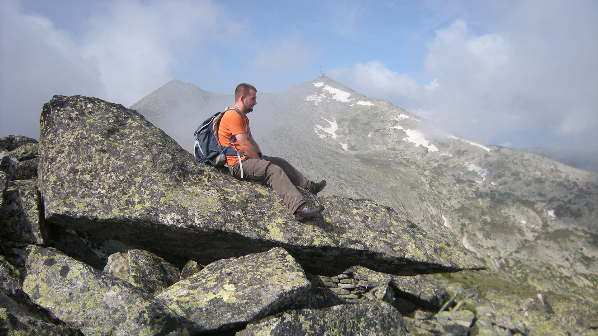
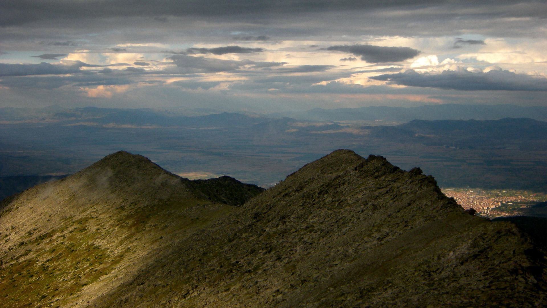
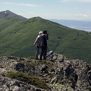
This is the most technical and challenging trail for climbing Pelister Peak. It moves along the main ridge across three peaks and involves crossing exposed rock blocks.
Forest Belt and Access:
The trail starts from the Info Center (1,360 m). The first 40 minutes move along a macadam road, after which the route enters a Molika pine forest, ascending toward the tree line (approx. 2,100 m).
“Bolnici” Locality (2,200 m):
At this elevation, the trail passes through the site where military field hospitals operated during World War I. The terrain here is relatively flat before the final ascent.
Alpine Belt and Ridge:
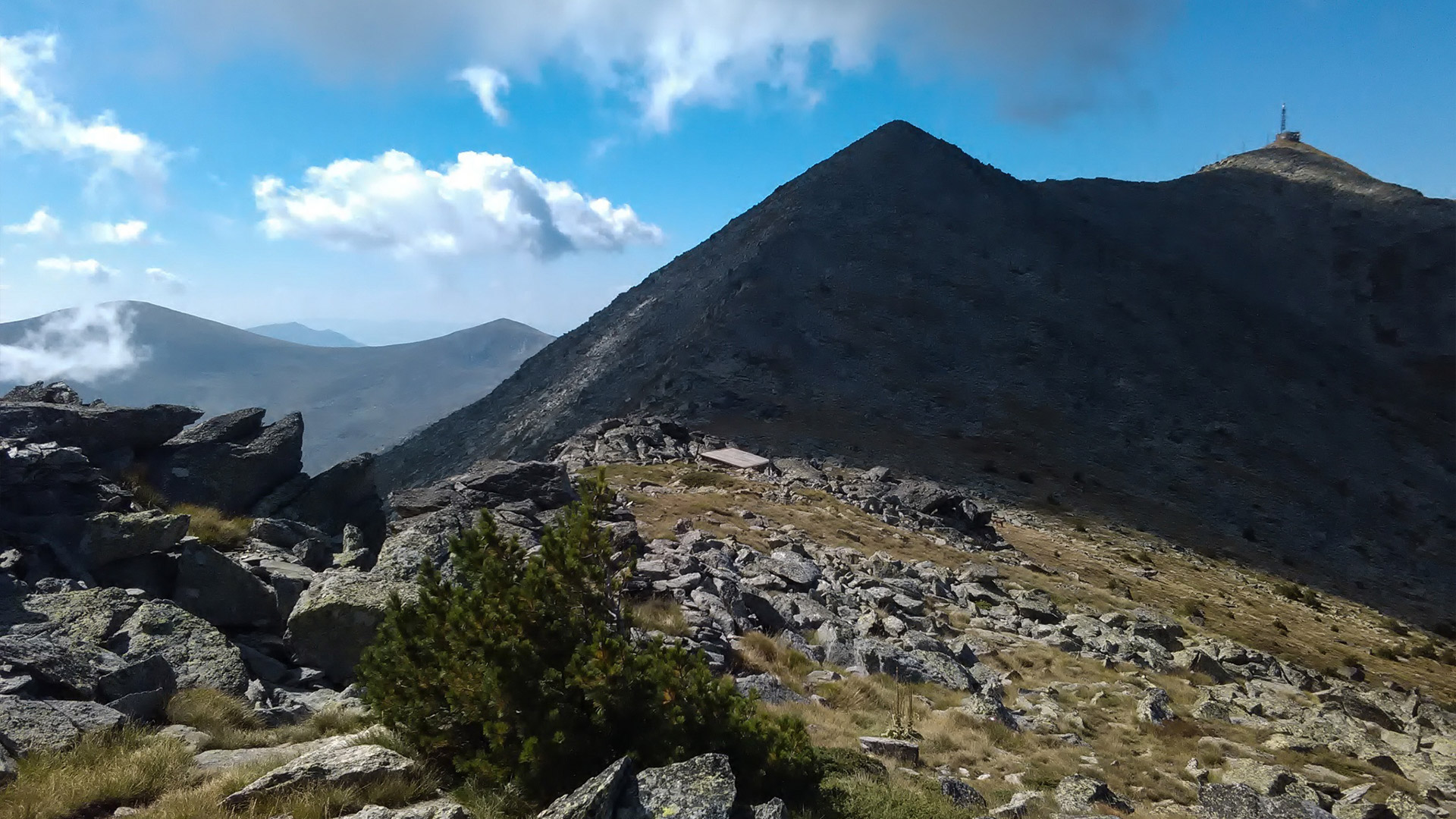
After leaving the locality, movement continues along a narrow ridge covered with characteristic Pelister rock debris (scree/stone field). The route partially follows old military roads built directly into the rocks.
Pelister Peak (2,601 m) and Return Options:
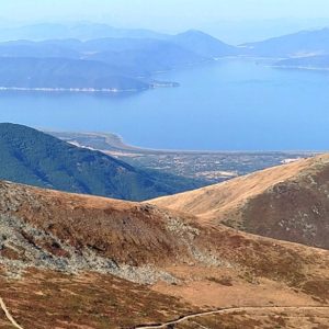
At the very summit stands a radio-broadcasting antenna, offering expansive views toward Lake Prespa and the Korab and Šara massifs. The descent can be made along the same route or via an alternative circular variant toward the Hunters’ Lodge.
Download GPX File: [Link to GPX]
Digital Trail Overview: [Interactive Map / Digital Preview]