Make a Reservation
Fill in the following information for your next Pelister experience. Guaranteed safety and an unforgettable adventure.






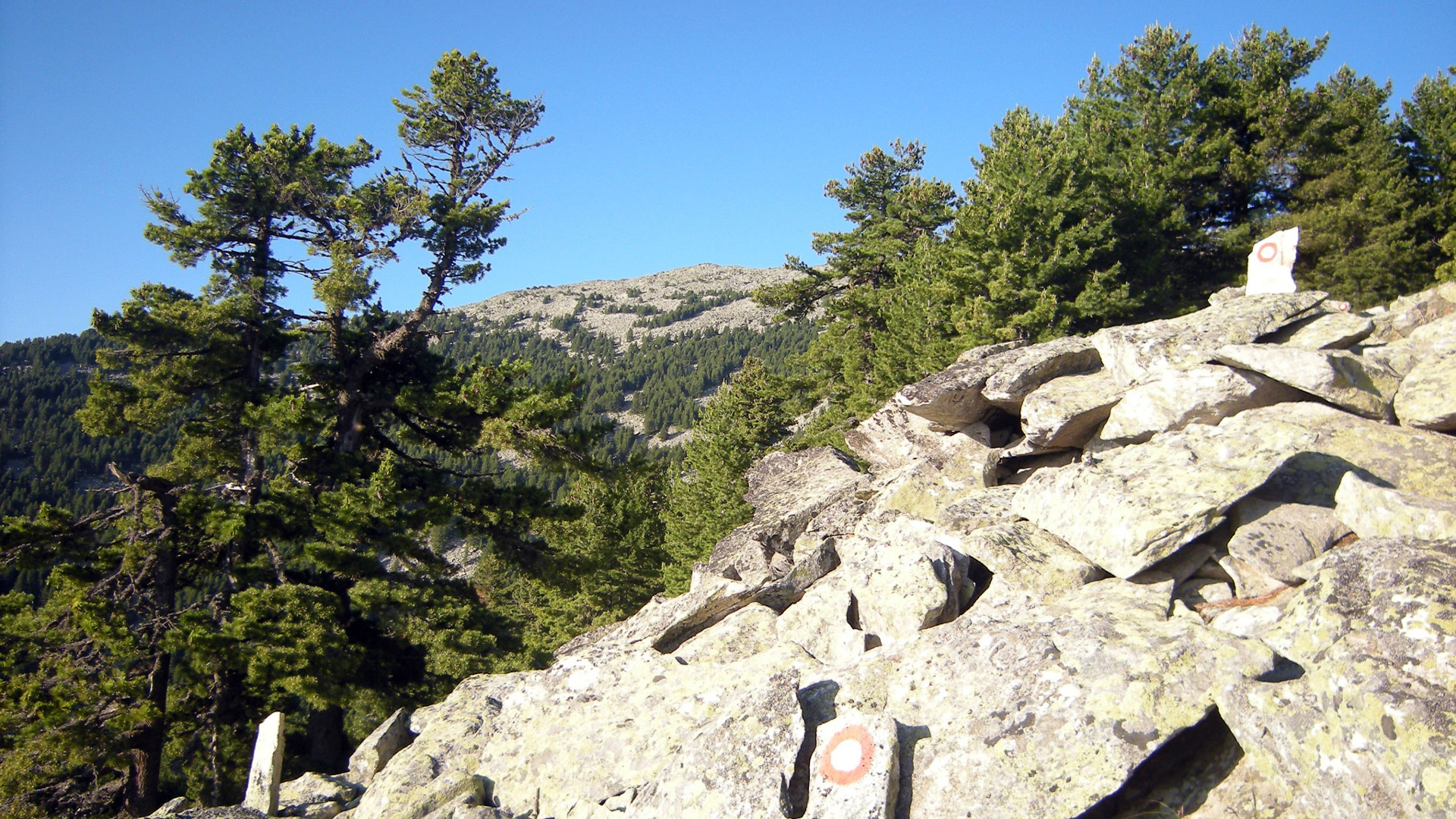
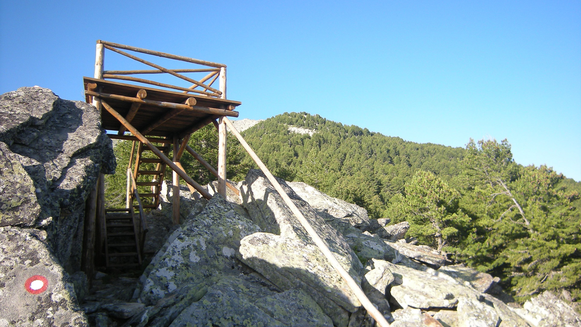
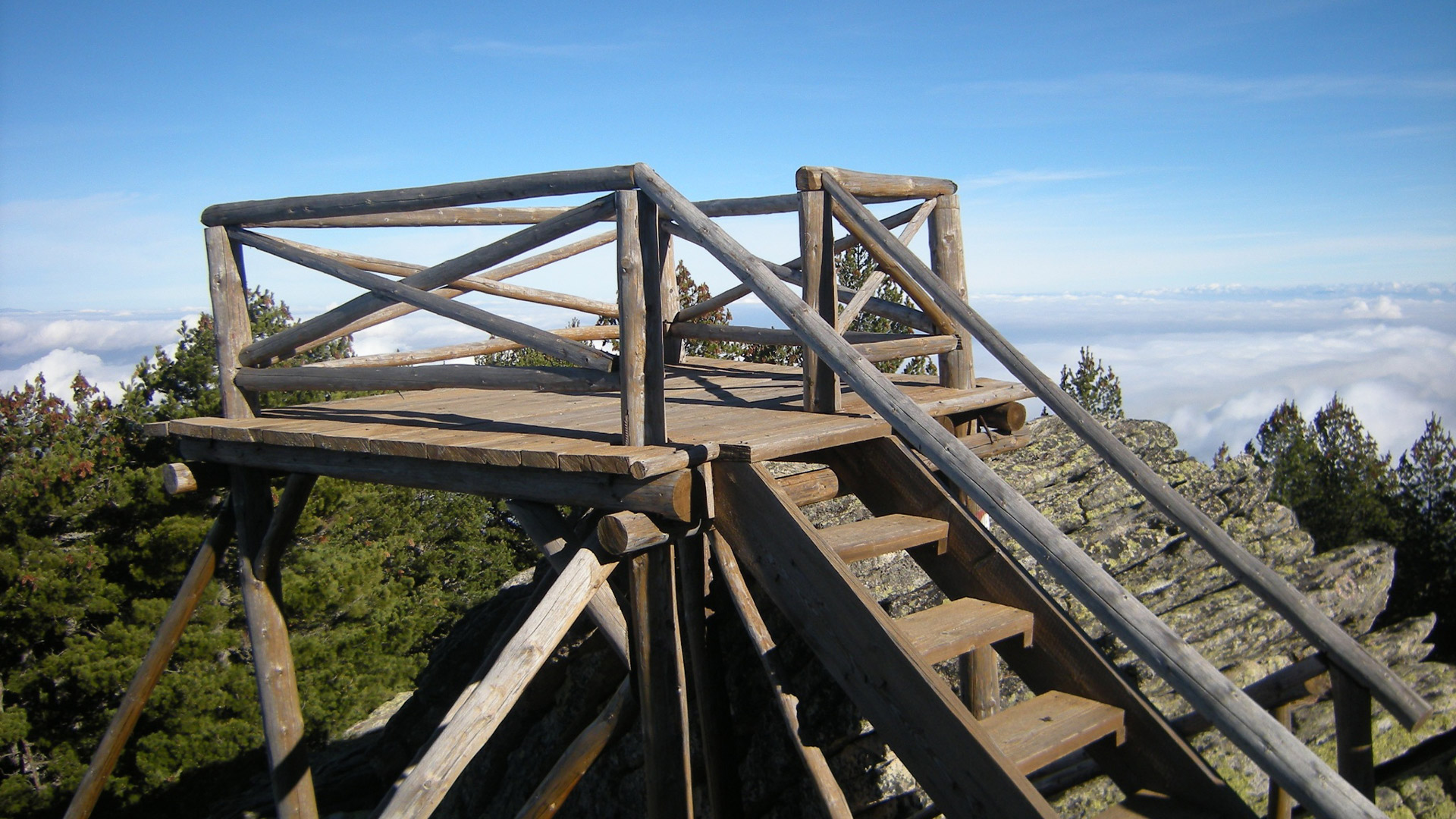
A trail characterized by a continuous elevation gain (from 1,333 m to 1,981 m). It is fully routed through forest and high-mountain zones, with the main focal point being the constructed wooden viewpoint.
Terrain Structure:
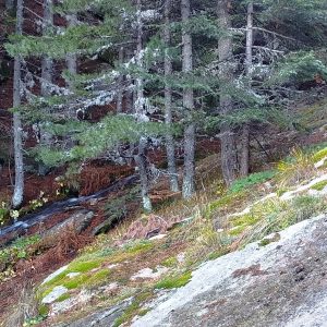
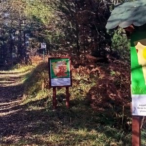
The trail can be started from the Info Center or Hotel Molika. Of the total length, 9.1 km consists of narrow dirt forest paths, while 2.2 km runs along a wide macadam road.
Viewpoint (1,981 m):
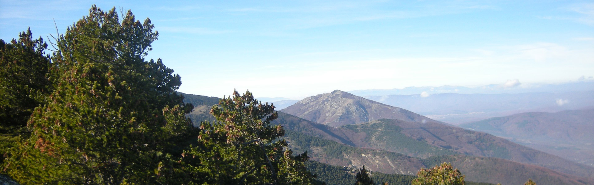
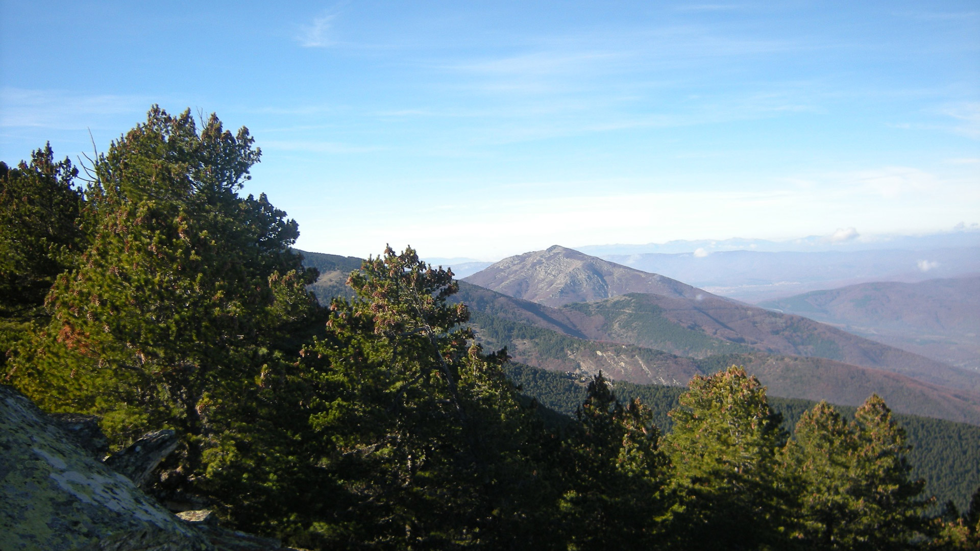
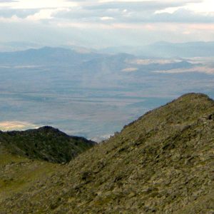
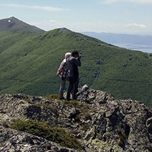
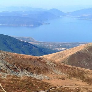
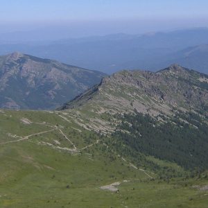
The main destination is the wooden platform (Viewpoint) positioned to offer a clear view of the main ridge of Baba Mountain with its rocky peaks, as well as the Pelagonia Valley.
Vegetation Zones and Hydrology:
During the five-hour trek, hikers pass through several different altitudinal vegetation zones.
Circular Format:
The trail design is circular, meaning the descent route differs from the ascent route, allowing for the coverage of a larger area of the park without repeating the same terrain.
Available Water Source:
The route is well-supplied with water, featuring several active springs along the track.
Download GPX File: [Link to GPX]
Digital Trail Overview: [Interactive Map / Digital Preview]